

Trails & Maps
DID YOU KNOW? Red Wing’s bluffs offer over 26 miles of hiking, cross-country ski, snow shoe, and mountain biking trails!
BLUFF ETIQUETTE
Please be respectful of the area. We love the bluffs and know you will too. We appreciate your help in preserving them for future generations to enjoy!
Stay on the trails not only for your own safety, but also to prevent erosion and to avoid damaging delicate or endangered plant and animal species. The bluffs may appear rugged, but their ecosystem is quite fragile.
Do not pick flowers or uproot plants. These are needed to repopulate the area.
No fires unless granted permission and only in designated areas.
Be respectful of the wildlife who call the bluffs their home. Maintain your distance and don’t disturb them.
Be considerate of others enjoying the area, yielding to hikers going uphill and speaking quietly amongst yourselves.
Leave no trace. Clean up after yourselves and pack out trash.
Billings-Tomfohr Conservation Area
Using the trail path you’ll gain ~200 ft in elevation and wind through the natural prairie habitat and scenic overlooks of the Conservation Area. At the top you’ll find a trail map to help guide you through the Conservation Area.
Snowshoe and winter dog walkers - please stay off the groomed x-country ski trails.
Get the Hiking Map
He Mni Can - Barn Bluff
All trails begin at the end of East Fifth Street. Always remember to stay on the marked trails. Narrow and steep portions of the north side trail are strung with a stabilizing cable for hiker safety, designed to hold onto while traveling this area of the trail.
The following caution applies to all trails: Danger of falling! Loose rocks, steep slopes, vertical drops. Proceed at your own risk.
Children should be accompanied by an adult.
Get the Hiking Trails Map
____________________________________________
Snowshoe and winter dog walkers - please stay off the groomed x-country ski trails.
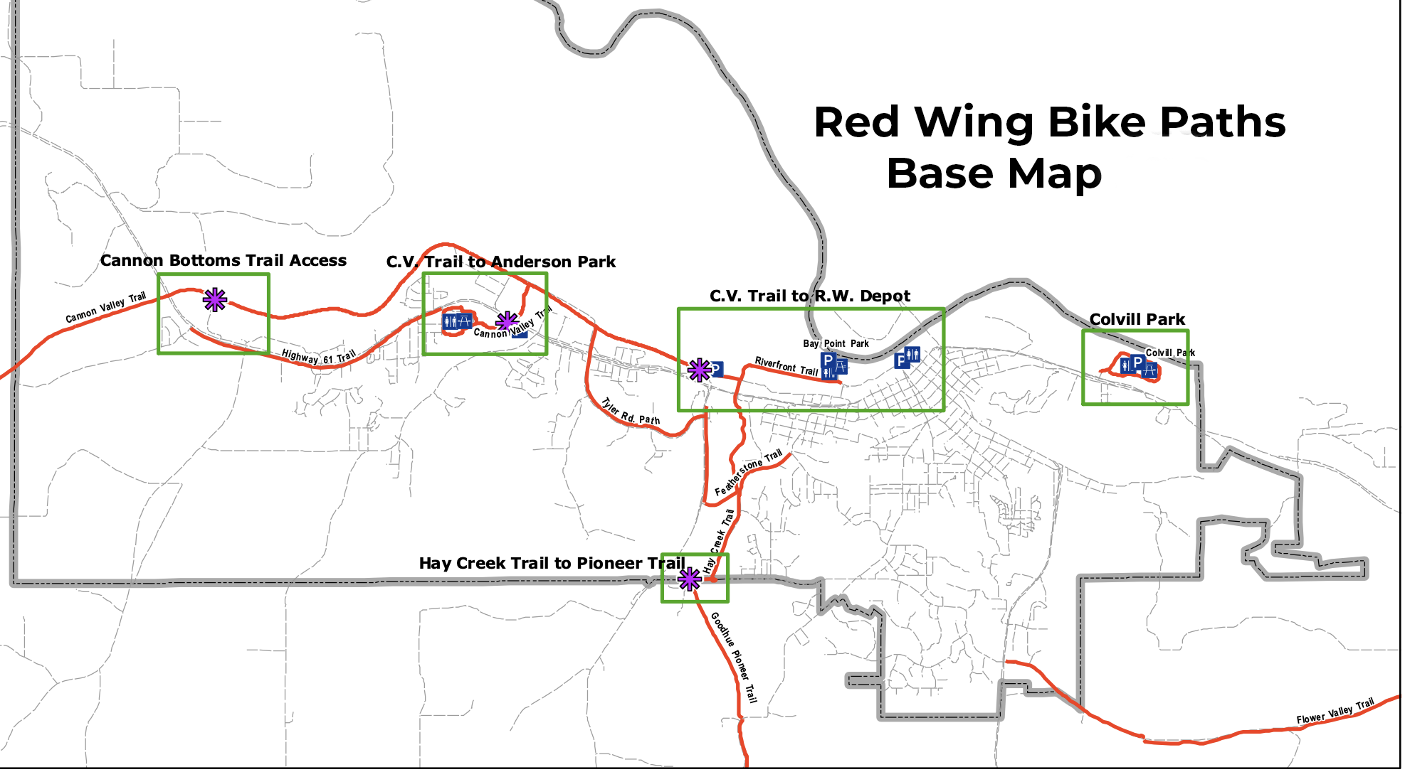
Biking in Red Wing and on the Cannon Valley Trail
State Trails in Red Wing
